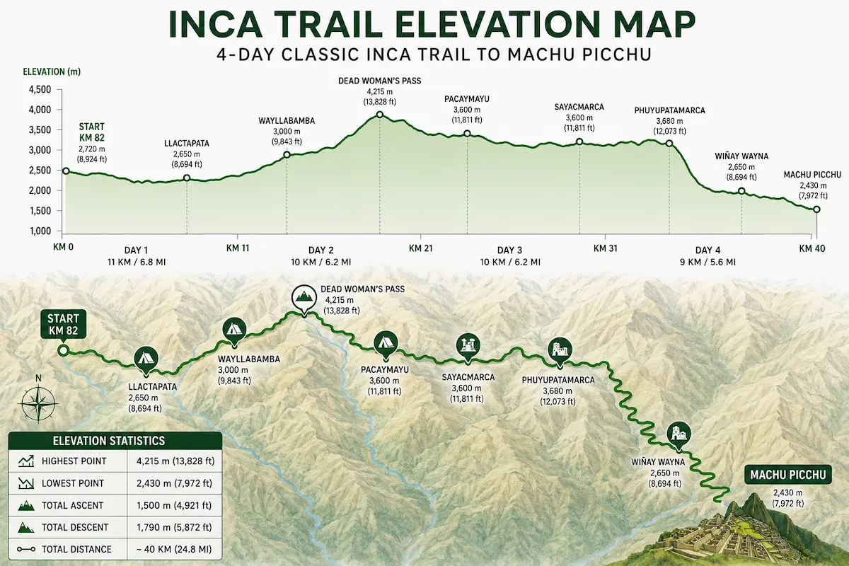

The Inca Trail elevation profile explains why the trek can feel demanding even though the total distance is approximately 42 kilometers or 26 miles.
The route does not simply climb once and then descend toward Machu Picchu. Instead, you repeatedly gain and lose elevation while crossing mountain passes and archaeological areas.
Inca Trail Elevation at a Glance
| Location | Approximate Elevation |
|---|---|
| Traditional trailhead area | About 2,600 m / 8,530 ft |
| Wayllabamba area | About 3,000 m / 9,840 ft |
| Dead Woman’s Pass | About 4,215 m / 13,829 ft |
| Runkurakay Pass area | About 3,950 m / 12,960 ft |
| Wiñay Wayna area | About 2,650 m / 8,694 ft |
| Machu Picchu | About 2,430 m / 7,972 ft |
Exact campsite elevations can vary according to assigned camping areas.
The Route Begins Below Its Highest Point
The trail starts at a significantly lower elevation than Dead Woman’s Pass.
This means the route requires a major climb before reaching its highest point.
First Major Elevation Gain
The early part of the trek gradually gains elevation as the trail moves deeper into the Andes.
The climbing becomes more demanding as you approach the high-pass section.
Dead Woman’s Pass
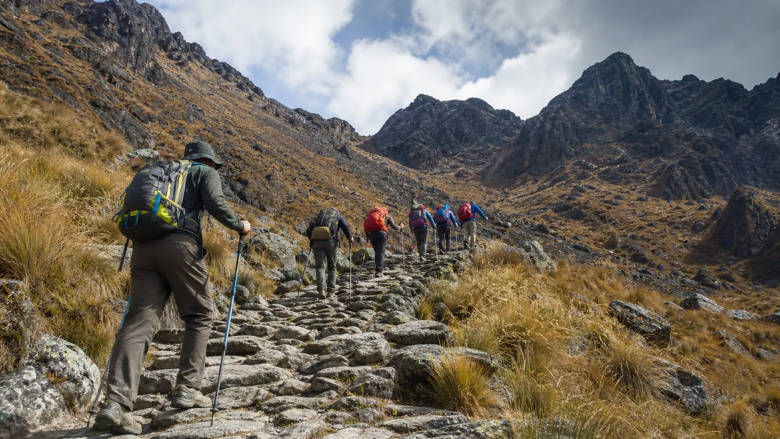
Dead Woman’s Pass, or Warmiwañusca, is the highest point on the Classic Inca Trail at approximately 4,215 meters.
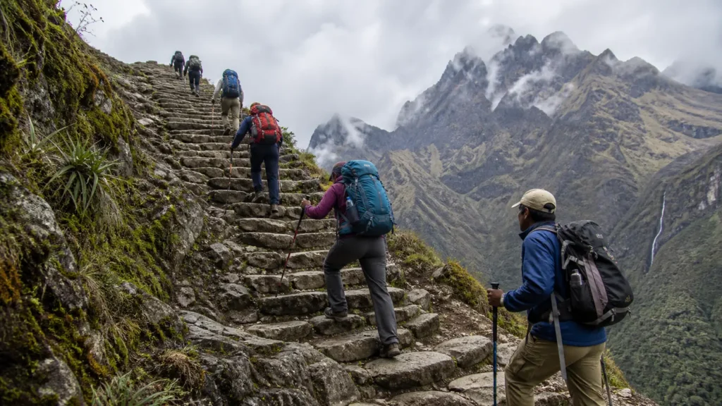
The climb toward this pass is one of the most recognizable physical challenges on the trek.
Why the Climb Feels Difficult
The climb combines sustained elevation gain with high altitude.
At this point you are dealing with:
- Steep terrain
- Stone steps
- Lower oxygen availability
- Changing temperatures
- Several hours of walking
This makes the elevation profile directly connected to Inca Trail difficulty.
The Descent After Dead Woman’s Pass
Reaching the highest point does not mean the difficult terrain is finished.
The route descends steeply after the pass, placing different demands on your legs.
Long downhill sections can be tiring even though you are no longer climbing.
Second High-Pass Section
The trail later climbs again toward the Runkurakay pass area.
This is one reason the Classic route cannot be described as one single climb followed by one single descent.
Repeated Climbing and Descending
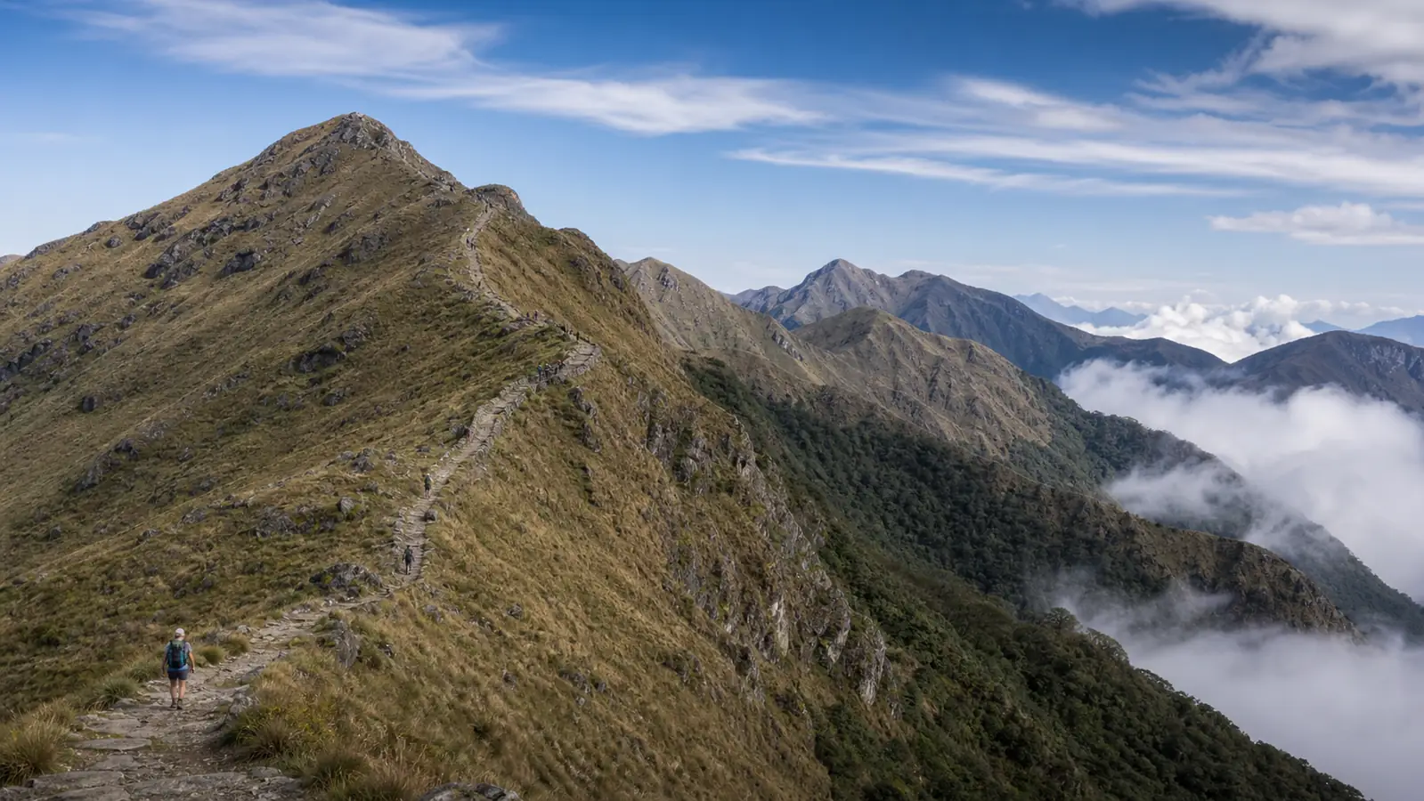
Later stages of the route continue moving across varied elevations before the final descent toward the Machu Picchu region.
The accumulated elevation change contributes substantially to fatigue.
Elevation vs Altitude
The terms are often used interchangeably in travel discussions, but for your trek the practical point is that higher elevations expose you to lower oxygen availability.
Read our detailed Inca Trail altitude guide for acclimatization information.
Elevation vs Distance
The Classic Inca Trail is approximately 42 kilometers or 26 miles.
That number becomes more meaningful when you understand the climbs and descents involved.
See our complete Inca Trail distance guide.
Why Descents Matter
Downhill walking can put significant stress on your quadriceps and knees.
Travelers who train only for uphill walking may be surprised by how tiring the descending sections feel.
How to Train for the Elevation Profile
You do not need an exact replica of the Andes near your home.
Train with:
- Hills
- Stairs
- Longer walks
- Downhill sections
- Back-to-back hiking days
Follow our Inca Trail training guide.
Should You Use Trekking Poles?
Trekking poles can provide additional support during climbs and descents if you are comfortable using them.
Practice before the trek instead of learning how to use them during the most difficult section.
Elevation and Weather
Temperature and exposure change as you move higher.
High passes can feel colder and windier than lower sections.
A layering system helps you adjust as elevation changes.
Elevation and Campsites
Your campsite determines the elevation where you spend the night.
Because campsite assignments can vary, exact sleeping elevations may differ between departures.
See our guide to Inca Trail campsites.
Frequently Asked Questions About Inca Trail Elevation
What is the highest elevation?
Dead Woman’s Pass is the highest point at approximately 4,215 meters or 13,829 feet.
Does the trail continuously climb?
No. The route repeatedly climbs and descends.
Is Machu Picchu higher than Dead Woman’s Pass?
No. Machu Picchu is considerably lower.
Are descents difficult?
Long stone descents can be physically tiring and require careful footing.
How should I train?
Include both uphill and downhill walking, stairs and sustained hiking in your preparation.
Understand the Profile Before You Trek
The Inca Trail elevation profile gives you a much clearer picture of the physical challenge than distance alone.
Once you understand the major climbs and descents, you can train more specifically and pack appropriate clothing for the higher sections.