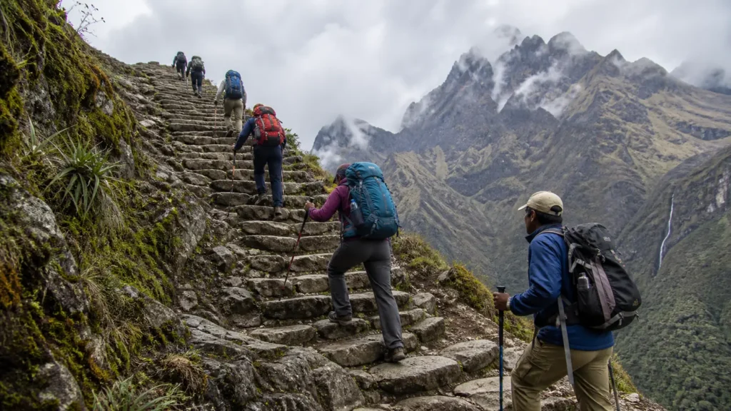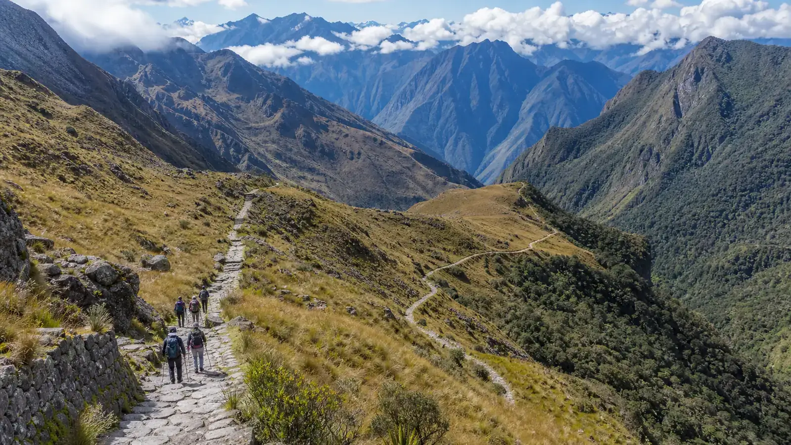

An Inca Trail map is most useful when it explains how the route changes, not only where a line appears on a page. The Classic route progresses from the Urubamba Valley into higher Andean terrain, crosses major passes, descends through archaeological sites and cloud forest, and reaches Machu Picchu through Wiñay Wayna and Intipunku.
Camps and daily stopping points can vary according to official assignments and the operator’s program. Treat the map as an orientation tool, then use your confirmed itinerary for exact logistics.
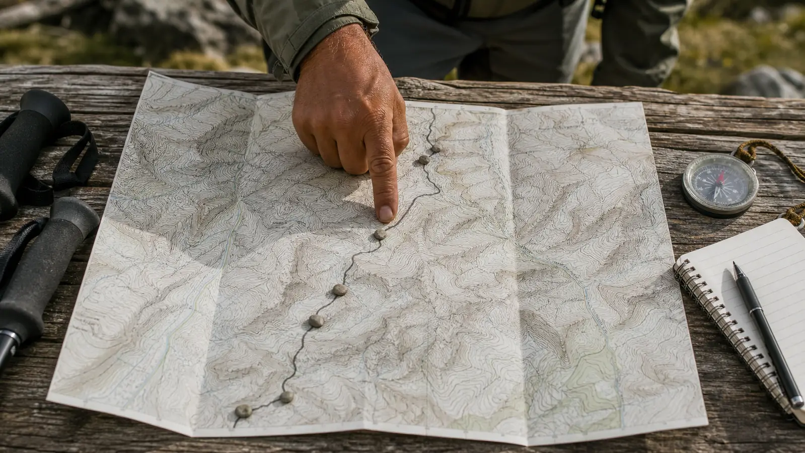
Classic Inca Trail Route Overview
- Traditional trailhead in the Urubamba Valley
- Patallacta and the approach toward Wayllabamba
- Ascent toward Dead Woman’s Pass
- Descent and second major pass around Runkurakay
- Sayacmarca and the cloud-forest transition
- Phuyupatamarka and extensive stone descents
- Intipata and Wiñay Wayna
- Intipunku and Machu Picchu
Stage 1: Trailhead to the First Valley
The opening section introduces the dry valley environment and views across archaeological landscapes. The route passes the Patallacta area before progressing toward settlements and the base of the major ascent. Although this stage can feel moderate, starting too quickly is a mistake. The body is beginning several consecutive days of effort.
Stage 2: Dead Woman’s Pass
The map rises sharply toward Warmiwañusca, commonly known as Dead Woman’s Pass. This is the highest major point on the standard Classic route and a central reference for understanding Inca Trail difficulty.
The contour lines or elevation profile matter more here than horizontal distance. A short segment on a simple map may represent hours of climbing. After the pass, the route descends steeply toward the next valley.
Stage 3: Runkurakay and Sayacmarca
The route climbs again past Runkurakay and crosses another high section before reaching Sayacmarca. Archaeology becomes closely integrated with the mountain terrain. This stage helps explain why the Classic route is different from alternatives that reach Machu Picchu without following the same protected road.
Stage 4: Phuyupatamarka and Cloud Forest
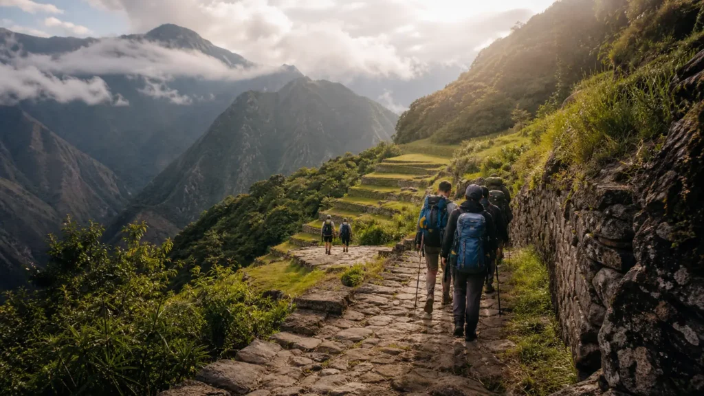
As the route progresses, stone engineering and ecological change become more visible. Phuyupatamarka occupies a dramatic location, and the following descent contains extensive stairs. Hikers should conserve energy and protect their knees rather than treating all downhill walking as easy.
Stage 5: Intipata and Wiñay Wayna
Terraces at Intipata and the architecture of Wiñay Wayna form the final great archaeological sequence before Machu Picchu. Wiñay Wayna is also a key point shared with the Short Inca Trail. Compare the routes in our Short vs Classic guide.
Stage 6: Intipunku to Machu Picchu
The last approach continues toward Intipunku, the Sun Gate. Weather and operating procedures influence the view and timing, so do not build the entire meaning of the trek around a guaranteed sunrise photograph. The importance of this stage is the on-foot connection between the historic road and Machu Picchu.
How to Read Elevation on the Map
A flat route diagram can hide physical effort. Pair the map with our elevation profile. Look for:
- Starting and sleeping elevations
- Total ascent and descent by day
- The position of major passes
- Long stairway descents
- Water and rest points described by the operator
- The relationship between camps and archaeological sites
Campsites on the Map
Maps often show familiar camp names, but the actual assignment may differ. Do not promise yourself a particular campsite based on a generic diagram. Use the campsite guide and confirm the operator’s latest information.
Classic Route vs Short Route Map
The Short route enters near Chachabamba and climbs to Wiñay Wayna before joining the final historic approach. It does not include Dead Woman’s Pass or the earlier multi-day sequence. On a regional map, the two lines converge late in the journey, but the hiking experience before that point is very different.
Maps, GPS and Navigation
Travelers enter through an organized and guided system; a downloaded track is not a substitute for authorization or professional guidance. A personal offline map can help you understand progress, but follow guide instructions and protected-area rules. Do not leave the trail to chase a viewpoint or GPS line.
Frequently Asked Questions
Does every group use the same camps?
No. Camp assignments and operational details can vary. Use your confirmed itinerary.
Does the Short Inca Trail include Dead Woman’s Pass?
No. That high pass belongs to the multi-day Classic route.
Can I hike the mapped route independently?
The regulated network has controlled access and operating requirements. A map does not provide permission to enter independently.
Use the Map to Prepare
Once the route makes sense visually, review the distance, altitude, weather and packing guides. Then compare them with the exact Classic Inca Trail itinerary you plan to book.